Tectonic & paleogeographic development of the western United States
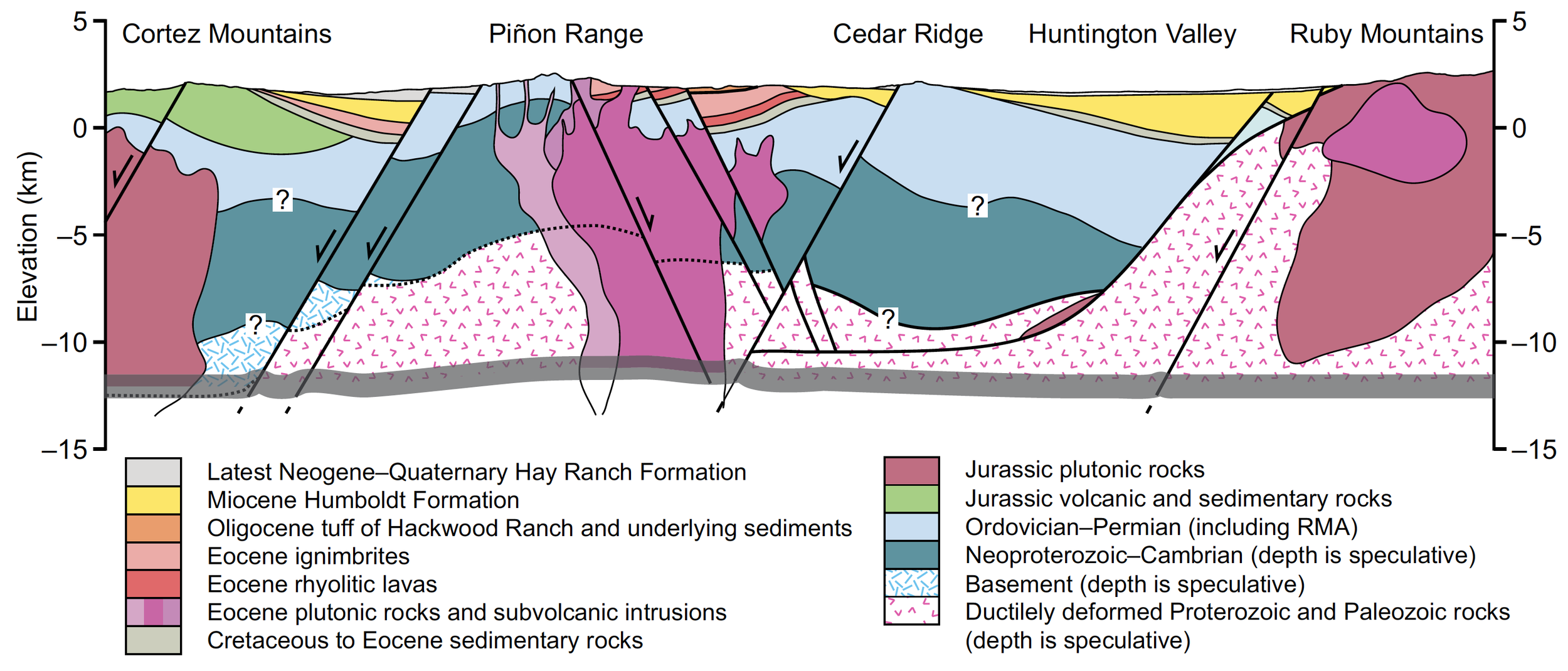
The western U.S. is one of the world’s foremost regions for studying mountain building, continental rifting, and the mechanics of plate tectonics. Back when the West was alive with the sound of dinosaurs cooing, the crust under Nevada and eastern California was shortening and thickening above a subduction zone, similar to the one under the Pacific Northwest today. Elizabeth Miller and I have shown that, back then, the continental divide may have been located along an ancestral version of the Sierra Nevada mountains. At some point after the dinosaurs’ demise, an incredibly intense episode of volcanism swept across the region, which we suggest raised central Nevada above the Sierra Nevada (similar to active uplift at Yellowstone), forming a new continental divide. Later, that entire region began to stretch apart and the modern Sierra emerged, a process that’s still active. Using a range of field and laboratory methods, I study these transitions and how they led to today’s landscape and tectonics.
Papers
Downhill from Austin and Ely to Las Vegas: U-Pb detrital zircon suites from the Eocene–Oligocene Titus Canyon Formation and associated strata, Death Valley, California
Miller et al. (2022)
Geologic maps
Preliminary 1:48,000-scale Bedrock Geologic Map of the Spotted Range and Adjacent Areas, South-central Nevada, USA
Lund Snee et al. (2021, unpublished GSA poster)


